Precise. Accurate. Professional results.
Accuracy and dependability are essential for a successful survey project.
Keller Engineers’ professional surveyors and technicians possess the in-depth knowledge and experience required to provide our clients with the accurate data necessary to obtain their desired result. Prior to beginning a project, a licensed professional surveyor gains a thorough understanding of our client’s needs, budget, and time schedule.
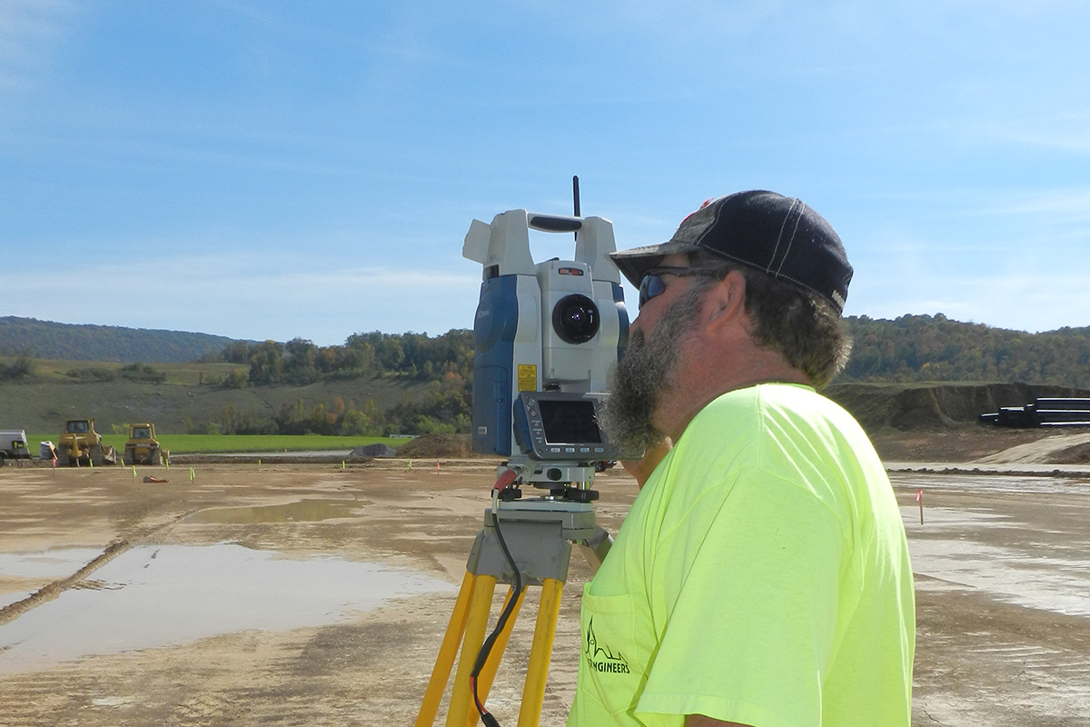
Our three full-time survey crews are equipped with hi-tech geospatial technology which provides our clients with dependable results through precise visualization, measurements, and analysis. Clients benefit from the efficiency of the Global Positioning System (GPS) units, and Robotic and Computerized Total Station devices which record digital field data and electronically transfer and integrate the data into our CAD software.