Gathering Data. Managing Documentation.
Because there is often little or no data indicating where underground utilities were buried forty or more years ago, workers must manually locate critical utility and infrastructure lines when a problem arises.
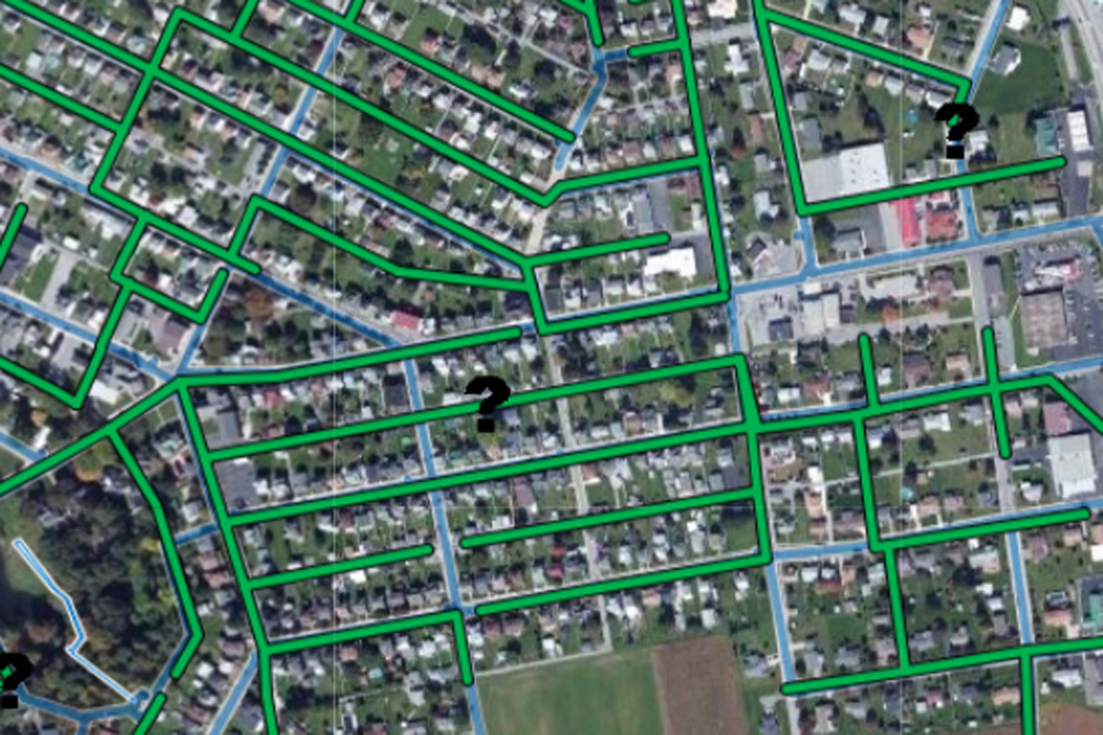
The time to locate and map a community’s utility system is before a failure occurs, thus improving public and environmental safety. Geographic Information System (GIS) mapping is for more than just underground utilities. Regardless of whether it is above ground or below ground, most infrastructure you want to easily locate can be mapped. The information is secure and shown in a format that is easy to visualize and share. GIS mapped data allows municipalities to see where infrastructure is located and how it relates to the surrounding area. It also shows one-call markings and documentation of leaks and repairs. Our GIS specialists capture, map, and store precise data that can be used in the office or in the field. Real-time updates ensure data is current. These digital maps allow field crews to quickly pinpoint and view data on mobile devices making field work more efficient.