Bedford Joint Municipal Authority, Bedford County
Master Plan: This plan was undertaken to investigate funding opportunities, prepare and submit funding applications, develop a Feasibility Study, and prepare a preliminary trail design connecting Downtown Bedford Borough to the Omni Bedford Springs Resort.
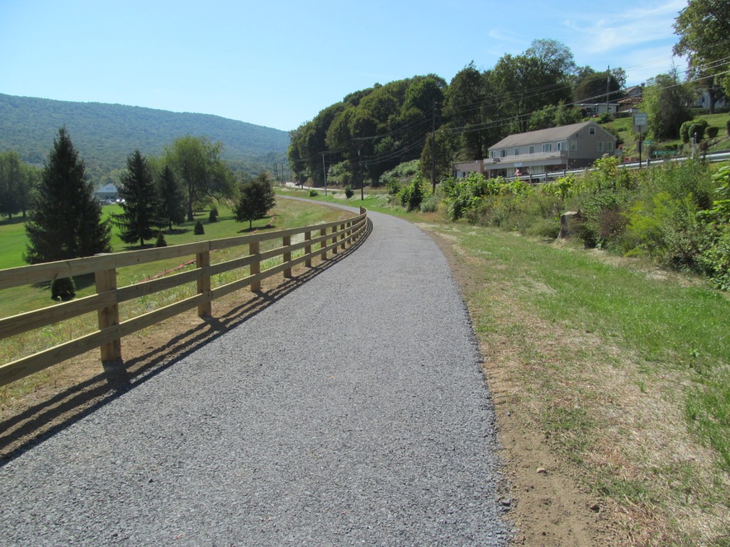
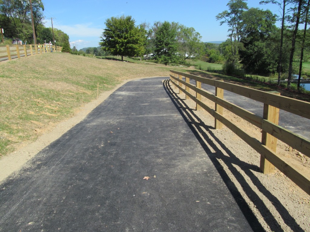
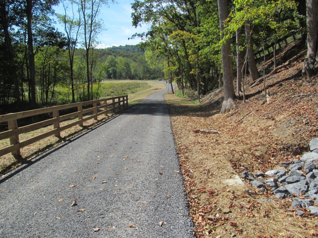
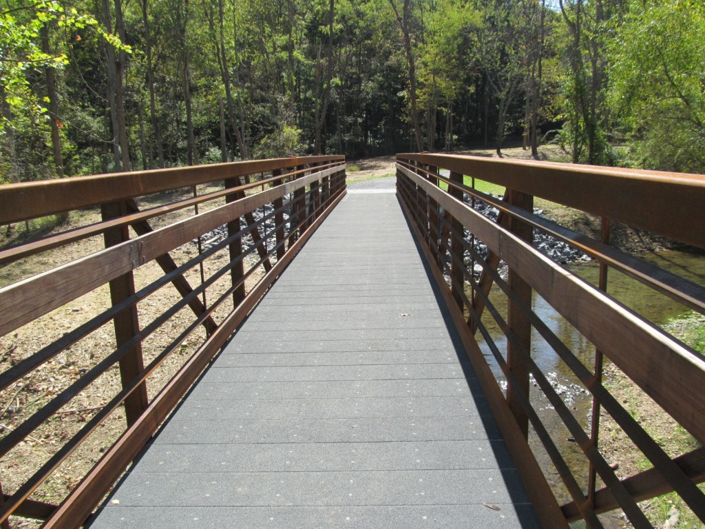
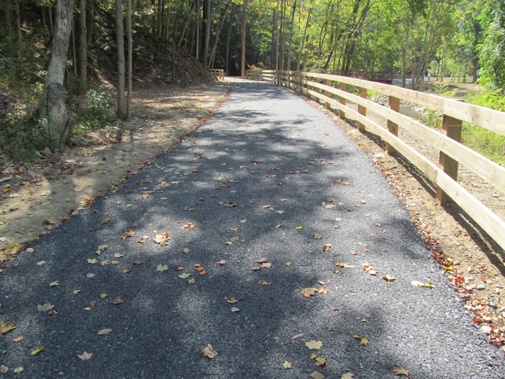
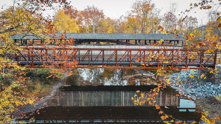
Phase I: Included final design and construction of a trail connecting Bedford Borough and the Omni Bedford Springs Resort. The shared use trail is 5,900’ in length, 10’ wide, and includes two structures crossing Shober’s Run. Bridge one is 75’ long and bridge two is 90’ long.
Project Challenges/Uniqueness: The trail is designed to meet ADA compliance requirements; therefore, due to a steep grade along a section of the trail, a switchback was designed to minimize the grade. Additionally, to receive approval from the Pennsylvania Historic Museum Commission, the abutment finish on the bridges had to match a retaining wall and the old stone mill
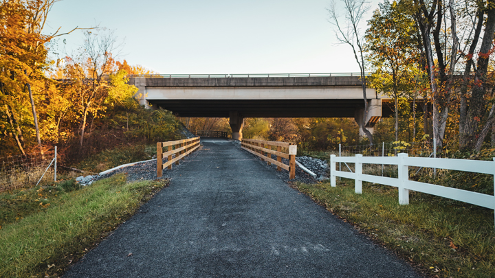
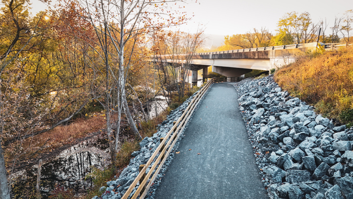
Phase II: Included construction of a 1.76-mile proposed shared use path/ trail from Davidson Street in Bedford Borough to the entrance at Old Bedford Village in Bedford Township. Most of the trail was constructed between I-99 and the Raystown Branch of the Juniata River. The trail is 10’ wide with a 2’ graded shoulder on each side and 3:1 side slope. The project also included construction of two structures; the structure located over the Raystown Branch of the Juniata River is a 10’ wide, 170’ single span prefabricated steel truss bridge on reinforced concrete abutments and wingwalls, while the structure over the Unnamed Tributary to the Raystown Branch of the Juniata River is a single span, 18’-7” wide x 5’-4” high, aluminum structural plate box culvert.
Project Challenges/Uniqueness: Crossing under the US Rt. 30 bridge over the Raystown Branch of the Juniata River was a design challenge to avoid impacting the bridge abutment while limiting impacts to the stream’s floodway. Construction of a steep rock lined embankment was also challenging due to its close proximity to the stream and the US Rt. 30 exit ramp to I-99 north.

For over 20 years I have had the privilege of working with Keller Engineers and their staff of surveyors, and civil and structural engineers on over $150 million worth of work. During these project relationships and partnering opportunities, my architectural teams have received nothing but premium professional services and courtesy towards my own staff, clients and prospective clients with stellar attention given to building and site details, client responsiveness and peer respect. I look forward to many more teaming opportunities and urge any other architectural firms, municipalities or clients who have not worked with Keller Engineers to do so. You will be pleasantly surprised! Richard L. Karcher, AIA, NCARB