Lakemont Park, Blair County
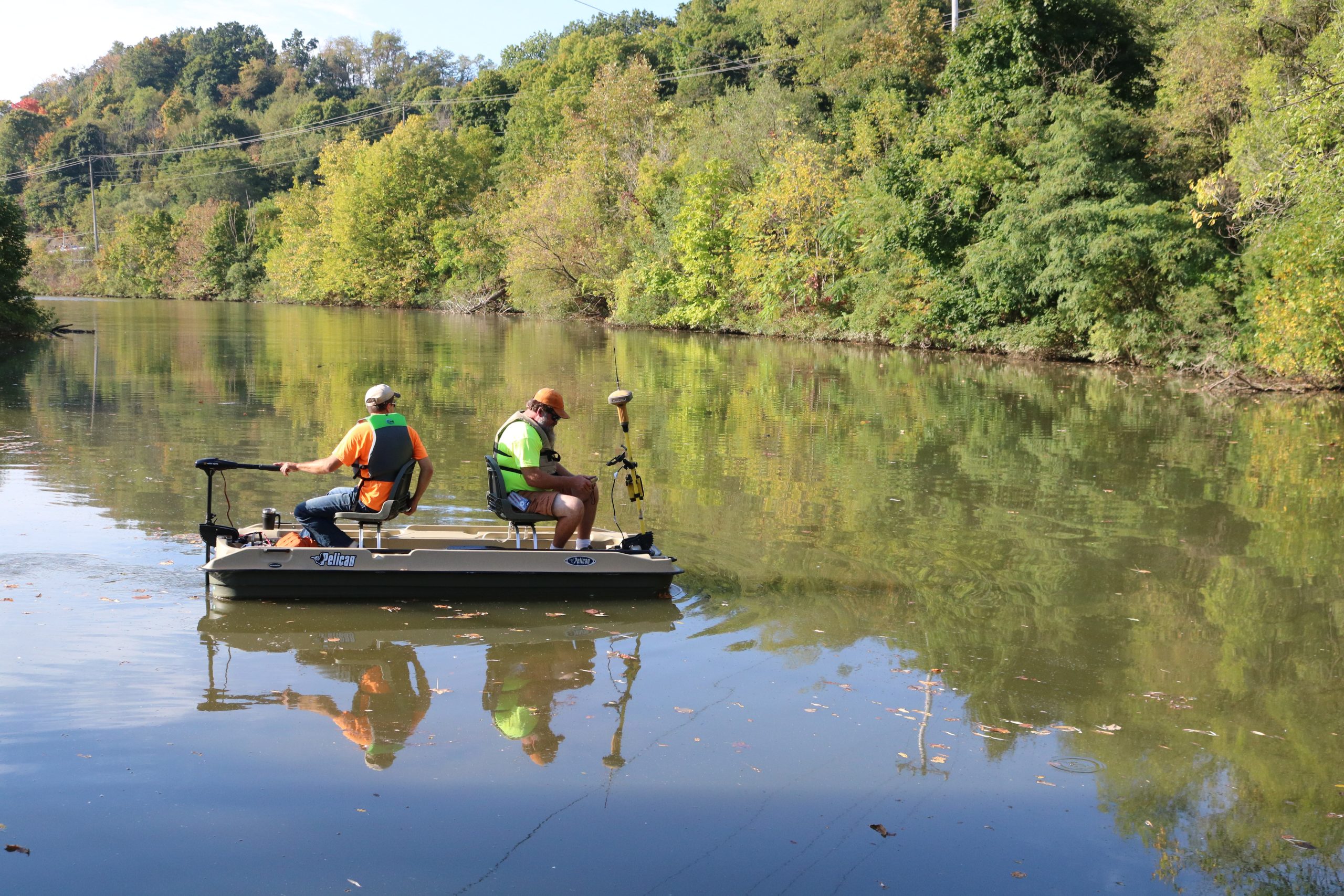
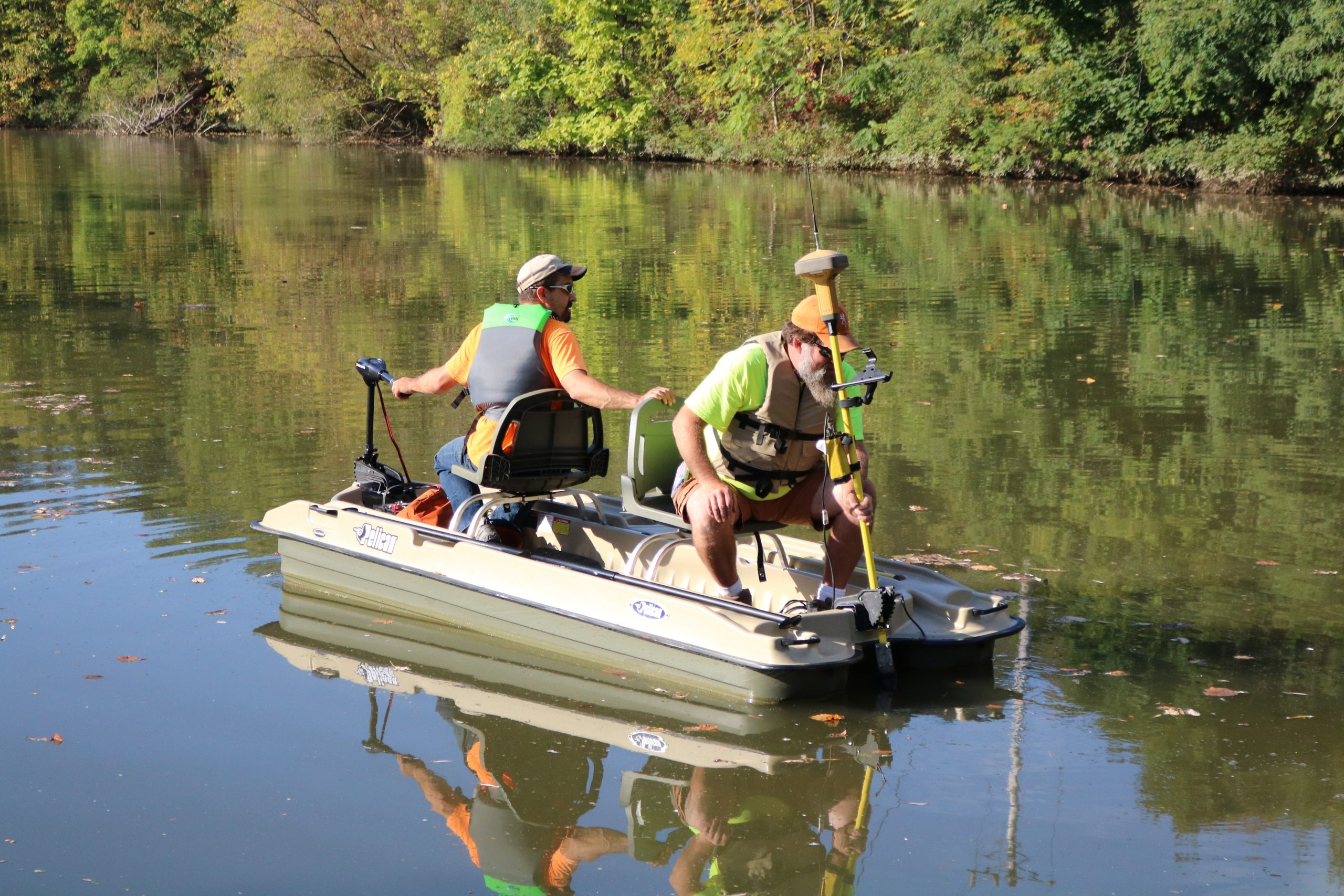
Keller Engineers performed a bathymetric survey of the 13-acre lake at Lakemont Park.
A bathymetric survey is conducted by using standard survey grade GPS equipment, which acquires satellite signals to the GPS head attached to a boat.
An echosounder transducer transmitted a pulse straight down until it hits a solid surface, such as the bottom of the lake or the top of sediment. The coordinates for that bottom point are then calculated automatically from both the GPS readings and transducer measurements and the result is then stored in the survey data collector.
The information taken from this survey was given to our Land Development team to:
Additionally, the survey data will be used to estimate both the volume of sediment to be removed and the volume of the lake.
For over 20 years I have had the privilege of working with Keller Engineers and their staff of surveyors, and civil and structural engineers on over $150 million worth of work. During these project relationships and partnering opportunities, my architectural teams have received nothing but premium professional services and courtesy towards my own staff, clients and prospective clients with stellar attention given to building and site details, client responsiveness and peer respect. I look forward to many more teaming opportunities and urge any other architectural firms, municipalities or clients who have not worked with Keller Engineers to do so. You will be pleasantly surprised! Richard L. Karcher, AIA, NCARB