National Park Service, Cambria County
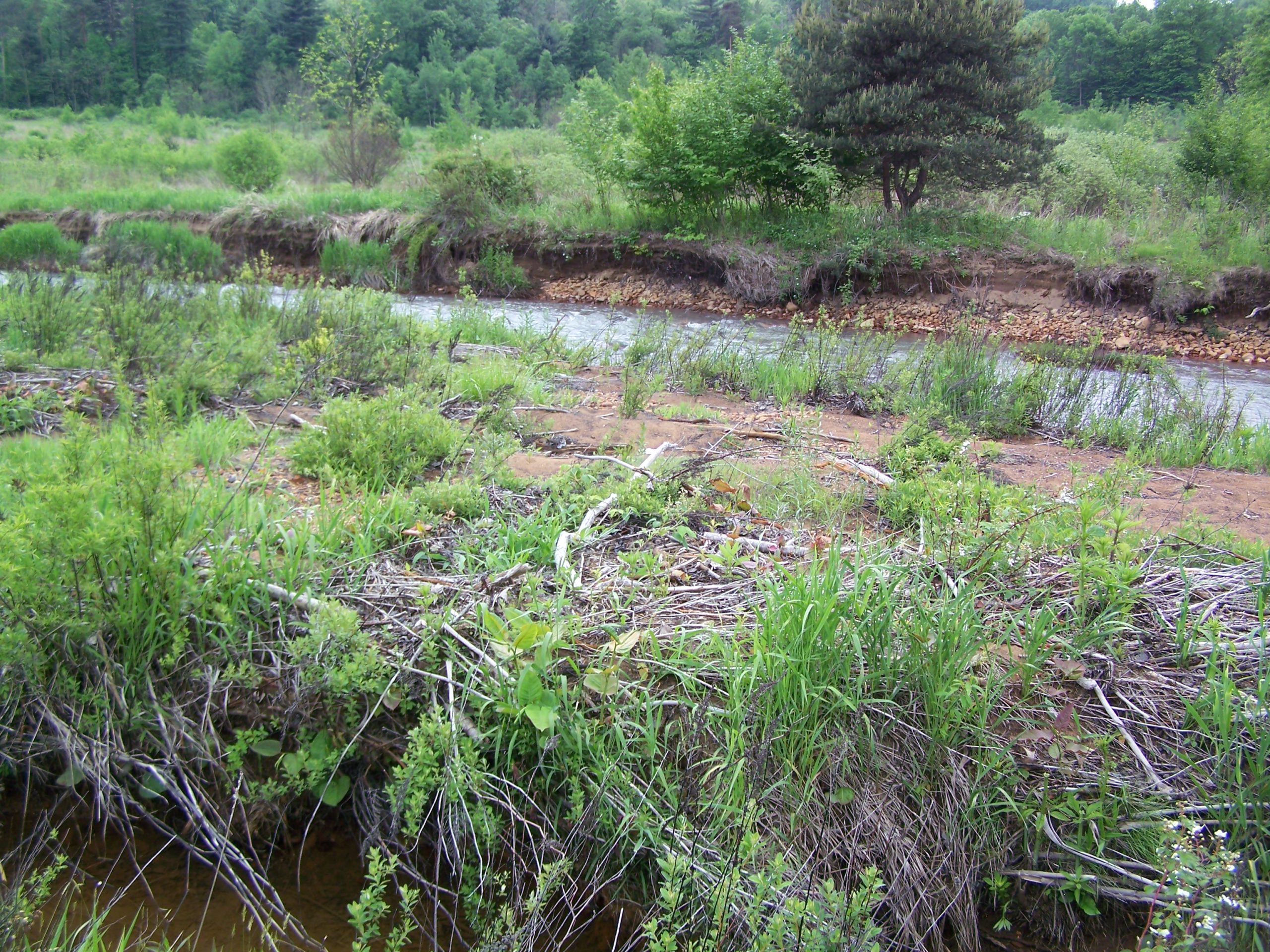
Keller Engineers performed various survey and environmental services on this 170-acre site in the historic lakebed of the South Fork Dam and Conemaugh Lake.
All services were completed using the protocols and procedures specified by the United States Army Corps of Engineers. The wetland boundaries were located by field survey and acreage determined of individual wetlands and of Cowardin types. GIS data layers were developed for all delineated wetlands then geo-referenced onto an aerial photograph.

[Brian Moore] has kept me informed every step of the way on the front lines of this project. With this being my first project and me still being on a huge learning curve, that speaks volumes about Keller Engineers and Brian’s commitment to your customers. Chuck Case, Manager Falls Creek Borough, Jefferson County