Lakemont Park, Blair County
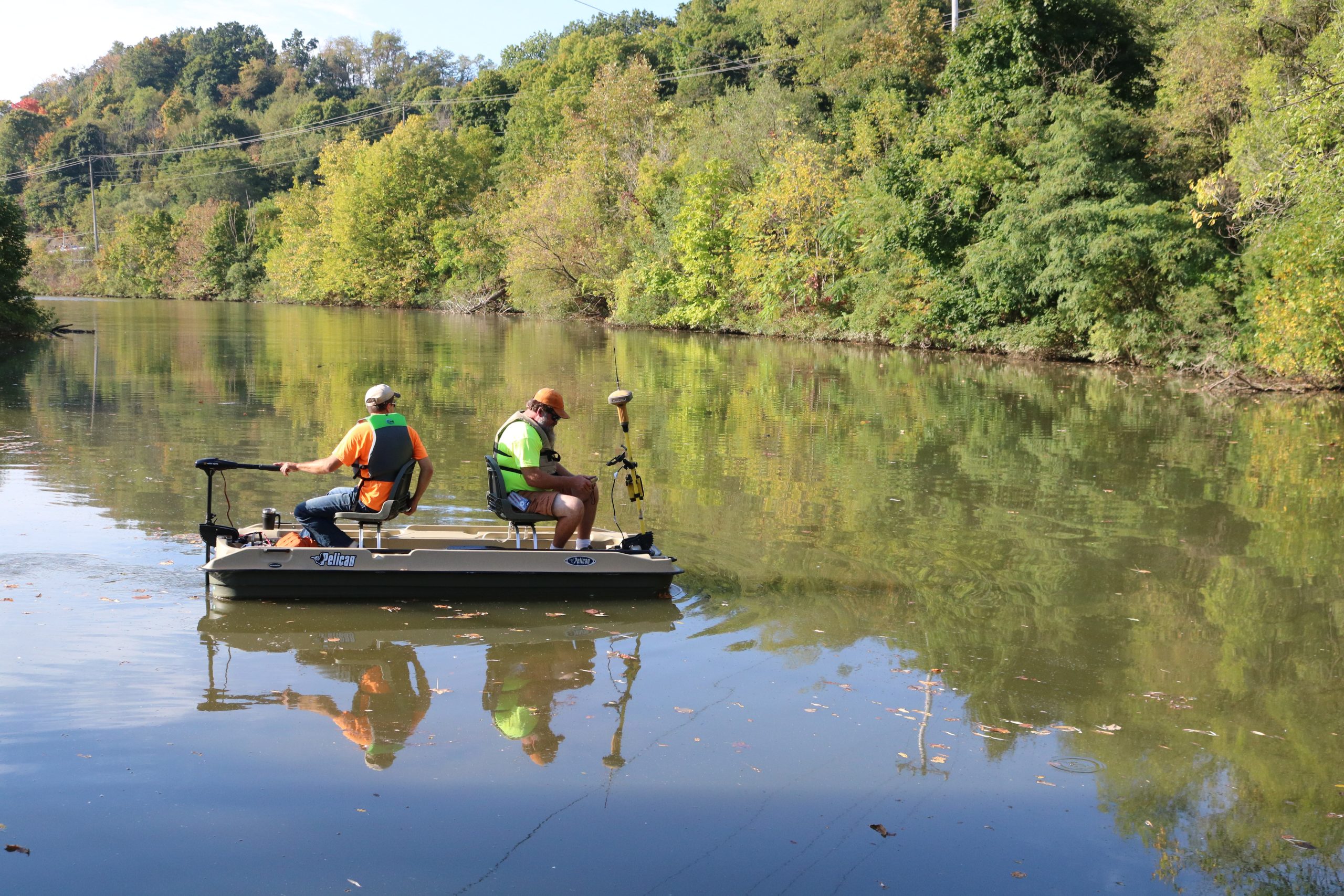
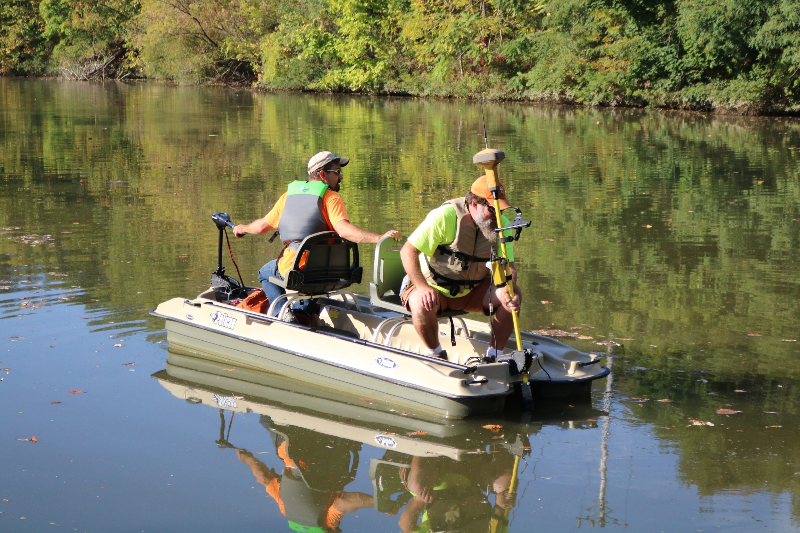
Keller Engineers performed a bathymetric survey of the 13-acre lake at Lakemont Park.
A bathymetric survey is conducted by using standard survey grade GPS equipment, which acquires satellite signals to the GPS head attached to a boat.
An echosounder transducer transmitted a pulse straight down until it hits a solid surface, such as the bottom of the lake or the top of sediment. The coordinates for that bottom point are then calculated automatically from both the GPS readings and transducer measurements and the result is then stored in the survey data collector.
The information taken from this survey was given to our Land Development team to:
Additionally, the survey data will be used to estimate both the volume of sediment to be removed and the volume of the lake.
We have worked with Keller Engineers for structural and civil engineering support on six projects over the past five years and have been very pleased with the results. Our projects tend to be complicated phased renovation/ addition projects calling for creativity in planning and construction. I have been particularity pleased with their responsiveness to issues that arise during construction which is of particular importance to us and our clients. Vern L. McKissick, III, AIA, LEED AP, Owner/Architect McKissick Associates