Lakemont Park, Blair County
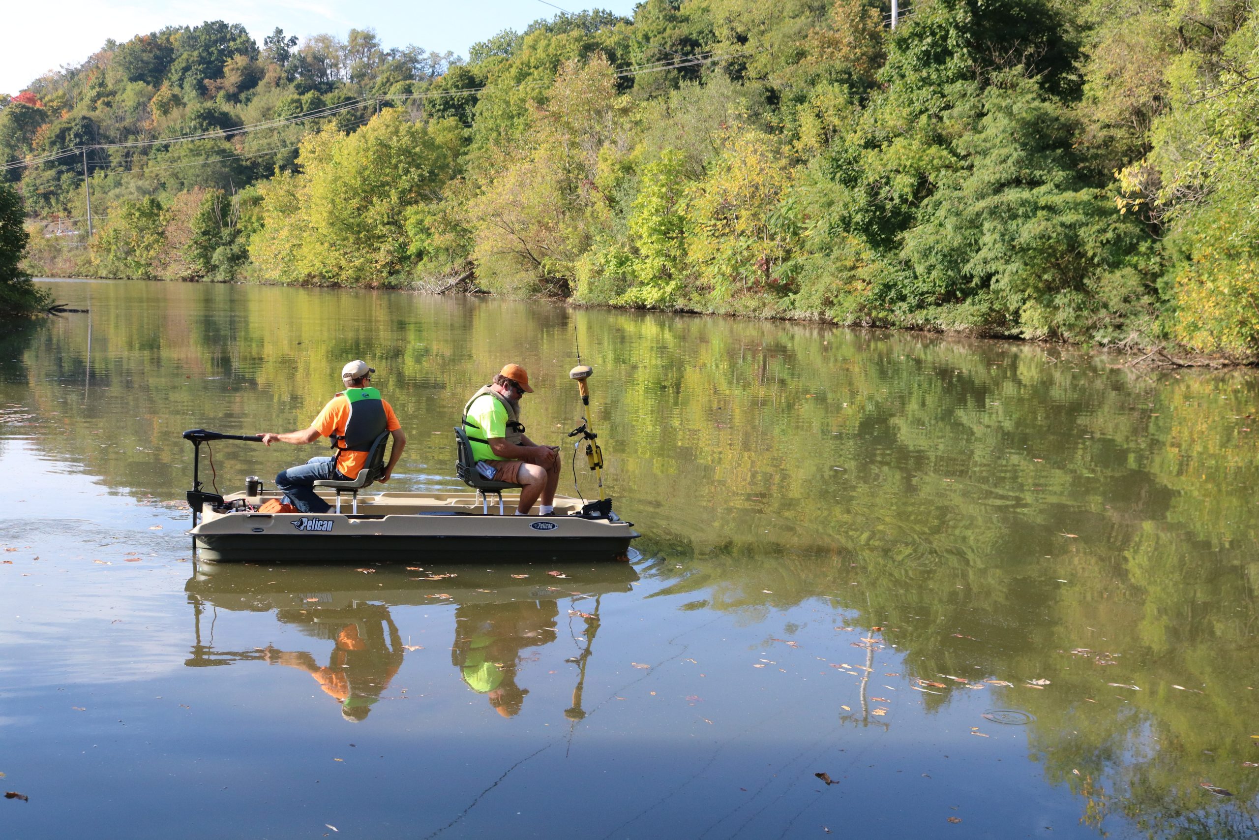
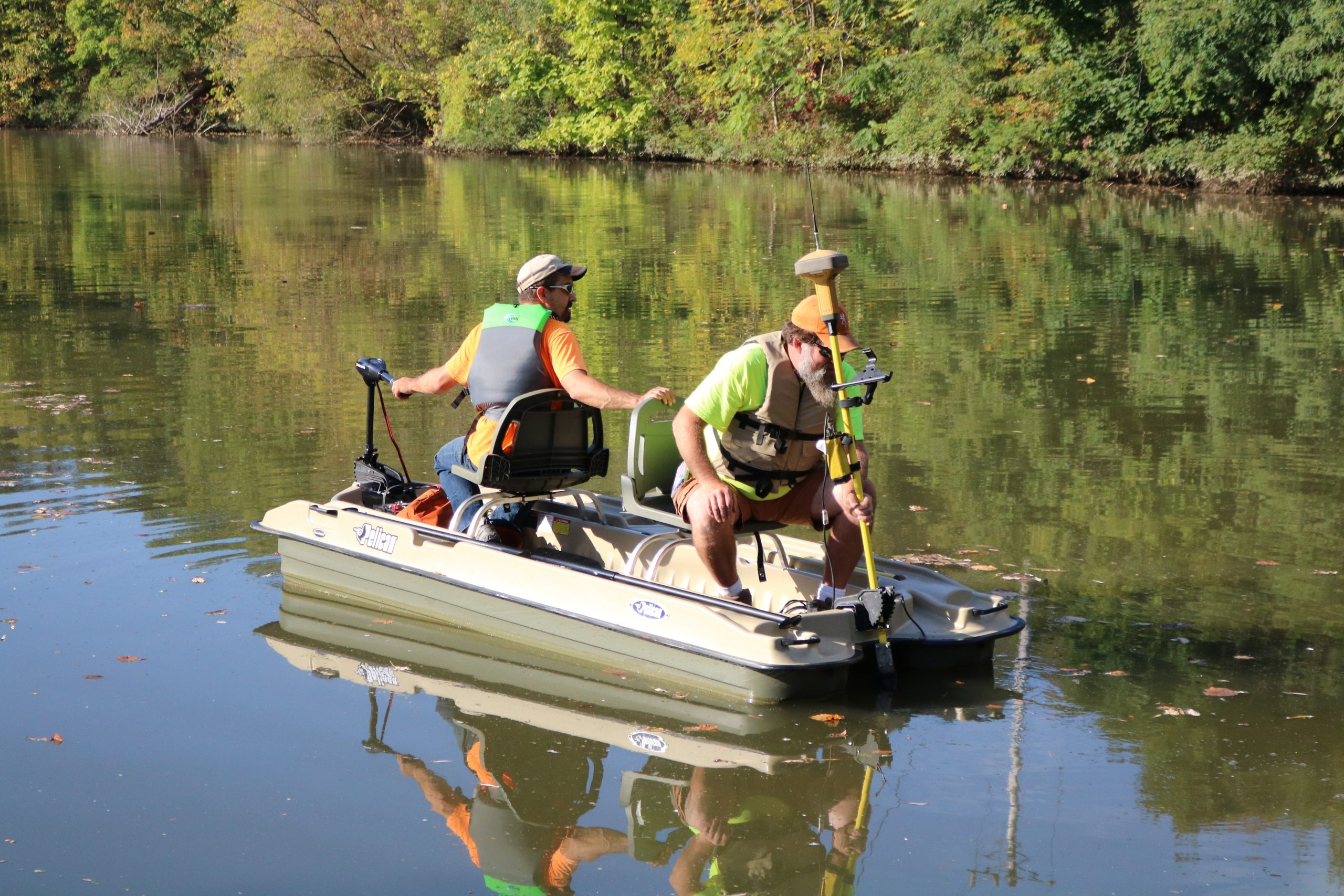
Keller Engineers performed a bathymetric survey of the 13-acre lake at Lakemont Park.
A bathymetric survey is conducted by using standard survey grade GPS equipment, which acquires satellite signals to the GPS head attached to a boat.
An echosounder transducer transmitted a pulse straight down until it hits a solid surface, such as the bottom of the lake or the top of sediment. The coordinates for that bottom point are then calculated automatically from both the GPS readings and transducer measurements and the result is then stored in the survey data collector.
The information taken from this survey was given to our Land Development team to:
Additionally, the survey data will be used to estimate both the volume of sediment to be removed and the volume of the lake.
Penn Cambria School District has collaborated the last 4 years with the Keller Engineer’s team to complete a multi-phased paving and drainage project on our HS campus. I have personally worked with Adam Long, Brian Smith and Shawn Ritchey throughout the entire project and they made Penn Cambria feel like we were their only client. The personal attention to our needs and specific details of this project were second to none. The communication aspect of the Keller Engineer Team was outstanding. We trust their process, their design and their commitment to a quality project that when completed, we are all very proud of. Bill Marshall, Superintendent Penn Cambria School District